Gravel – 8/8 Isabella Oakmulgee 70/53/45mi Gravel Ride, Isabella, 8/8 Velvet Ditch Gran Fondo, Oxford, MS
Please share any events you don’t see on the calendar. Thank you and ride on.
Gravel – 8/8 Isabella Oakmulgee 70/53/45mi Gravel Ride, Isabella, 8/8 Velvet Ditch Gran Fondo, Oxford, MS
Please share any events you don’t see on the calendar. Thank you and ride on.
Hey y’all, I’m in the process of signing up and noticed that only 6 people have signed up so far. This is the first run for this race, and it rolls through the beautiful Wheeler National Wildlife Refuge. Show some support for Bart and Kat who are hosting something new for gravel in Alabama!
Gravel – 8/1 Peach West Relocated Chicken 34/46/63/95mi Gravel Ride, Clanton
Y’all make sure to comment if you know of any rides that are not on the calendar that should be. If you didn’t know, click the calendar link to go the calendar page. It is updated every Wednesday. When I post a calendar update, I list what was added so you have a quick reference here. Roll on.
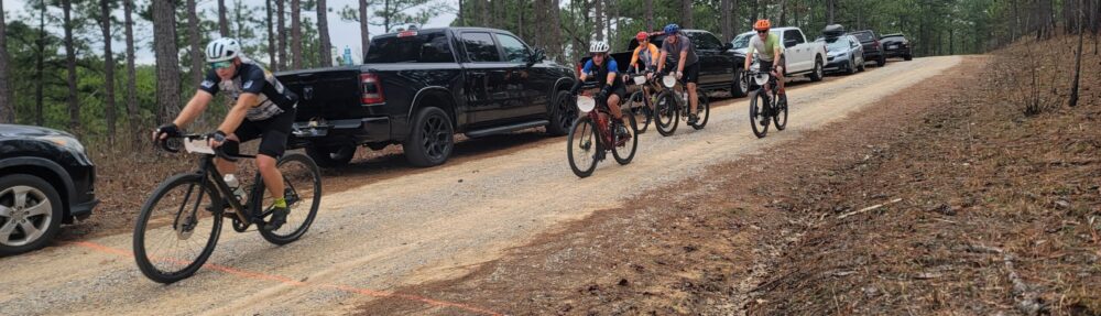
The routes page has been updated to include the Trash Panda routes
Gravel – 7/18 Trash Panda Gravel Ride, Marbury
Road – 9/12 53rd Annual BBC 100 Time Trial, Columbiana, 9/13 BBC 100 Century, Columbiana
MTB – 10/25 Bump Fall Enduro, Oak Mountain
Gravel – 7/3 Autaugaville 40/57/70/76/87mi Gravel Ride, 7/4 East Peach Fruity Loops 10/34/46/53/57/84/104mi Gravel Ride, Clanton
Road – 10/10 Ride to the Rescue, Childersburg, 10/24 Ride to the Rescue, Lillian, 10/24 2026 Trussville Witches Ride
I spoke to Chief Jim at Childersburg Fire and Rescue today. They had hoped to host 4 events this year, but Brewton and the Cleburne gravel ride were not able to come together. I will be driving sag in Childersburg, and it is always a great event on country backroads. Lillian sits on the bay across from Pensacola, has smooth flat roads with no potholes, beautiful views and will finish with a seafood boil. Makes sure to check it out and support your local Fire and Rescue.